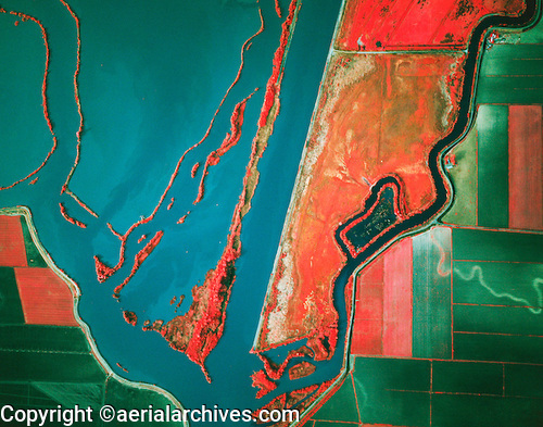
This type of map uses infrared photographs to portray certain information. This type of mapping entails that a a photograph be taken in the infrared spectrum which would in hand reveal particular information to the viewer. Things like forest health can be measured using this type of mapping. In the example above, one would be able to tell where bodies of water are located even if this image is taken at night time.
http://www.aerialarchives.com/Infrared-Aerial-Photography.htm
No comments:
Post a Comment